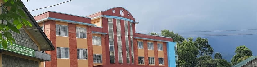
Master of Science (MSc) in Geospatial Engineering is a 2-year program by Tribhuvan University, Institute of Engineering.



Duration
Discipline
Level
Affiliation
Last Updated
The candidate must have completed BE Geomatics or equivalent from a recognzied board by Tribhuvan University.
1st Year – 1st Semester
S. No. | Course Code | Course Title | Credit | Assessment Marks | Final Duration (hrs) | Final Marks | Total |
|---|---|---|---|---|---|---|---|
1 | GE 801-Co4 | GIS and Spatial Data Modelling | 4 | 40 | 3 | 60 | 100 |
2 | GE 801-Co1 | Advanced Remote Sensing | 4 | 40 | 3 | 60 | 100 |
3 | GE 801-Co3 | Geo-visualization | 4 | 40 | 3 | 60 | 100 |
4 | GE 801-Co2 | Geodesy and GNSS | 4 | 40 | 3 | 60 | 100 |
Total | 16 | 160 | 240 | 400 |
S. No. | Course Code | Course Title | Credit | Assessment Marks | Final Duration (hrs) | Final Marks | Total |
|---|---|---|---|---|---|---|---|
1 | GE 851-Co2 | Research Methodology | 4 | 40 | 3 | 60 | 100 |
2 | GE 851-Co1 | Cadastral and Land Administration | 4 | 40 | 3 | 60 | 100 |
3 | --- | Elective-I | 4 | 40 | 3 | 60 | 100 |
4 | --- | Elective-II | 4 | 40 | 3 | 60 | 100 |
Total | 16 | 160 | 240 | 400 |
S. No. | Course Code | Course Title | Credit | Assessment Marks | Final Duration (hrs) | Final Marks | Total |
|---|---|---|---|---|---|---|---|
1 | --- | Elective-III | 4 | 40 | 3 | 60 | 100 |
2 | --- | Elective-IV (Inter-Departmental) | 4 | 40 | 3 | 60 | 100 |
3 | GE 901-Co1 | Project | 4 | 40 | 3 | 60 | 100 |
Total | 12 | 120 | 180 | 300 |
S. No. | Course Code | Course Title | Credit | Assessment Marks | Final Duration (hrs) | Final Marks | Total |
|---|---|---|---|---|---|---|---|
1 | GE 951-Co1 | Thesis | 16 | 100 | --- | --- | 100 |
Understand core concepts of geospatial science and technologies
Apply GIS, remote sensing, and GPS for spatial data analysis
Use geospatial tools for mapping, modeling, and decision-making
Design and manage geospatial databases and infrastructures
Analyze spatial patterns for urban planning, environment, and disaster management
Develop custom geospatial solutions using programming and automation
Integrate geospatial data with real-world engineering applications
Ensure accuracy, ethics, and data integrity in geospatial projects
Conduct applied research in geoinformatics and spatial technologies
Prepare for careers in surveying, urban development, environmental management, and more
The program offers a well-rounded curriculum that encompasses Geographic Information Systems (GIS), remote sensing, spatial data analysis, geodesy, cadastral studies, and geospatial technologies. It aims to meet the rising demand for experts in geospatial fields, which are essential across multiple sectors including infrastructure development, disaster risk management, environmental protection, and sustainable urban planning. The introduction of this program highlights Nepal’s growing acknowledgment of the vital role that geospatial science plays in addressing the nation’s key development challenges.