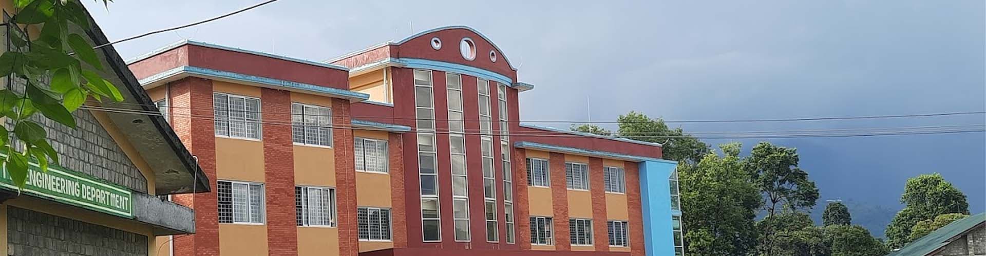
Bachelor of Geomatics Engineering (BE Geomatics) is a 4-Years course by Tribhuvan University, Institute of Engineering.



Duration
Discipline
Level
Affiliation
Last Updated
Course Title | Code |
|---|---|
Engineering Chemistry | SH 453 |
Engineering Drawing I | ME 401 |
Workshop Technology | ME 453 |
Engineering Mathematics I | SH 401 |
Fundamental of Thermodynamics & Heat Transfer | ME 402 |
Computer Programming | CT 401 |
Course Title | Code |
|---|---|
Applied Mechanics | CE 401 |
Basic Electrical Engineering | EE 401 |
Basic Electronics Engineering | EX 451 |
Engineering Drawing II | ME 451 |
Engineering Physics | SH 402 |
Engineering Mathematics II | SH 451 |
Course Title | Code |
|---|---|
Engineering Mathematics III | SH 501 |
Probability and Statistics | SH 552 |
Fundamental of Surveying I | — |
Object Oriented Programming | — |
Fundamental of Civil Engineering | — |
Applied Physics | — |
Applied Mechanics (Dynamics) | — |
Course Title | Code |
|---|---|
Numerical Method | SH 553 |
Fundamental of Geographic Information Systems | — |
Fundamental of Surveying II | — |
Field Survey I | — |
Computing Techniques for Geomatics Engineering | — |
Applied Mathematics | — |
Course Title | Code |
|---|---|
Adjustment of Observations | — |
Cadastre | — |
Fundamentals of Geodesy | — |
Principles of Photogrammetry | — |
Signals and Transforms | — |
Survey Networks | — |
Course Title | Code |
|---|---|
Engineering Economics | CE 655 |
Communication English | SH 601 |
Remote Sensing | — |
Geodetic Positioning and Gravity Field in Geodesy | — |
Field Survey II | — |
Cartography and Geo-Information Visualization | — |
Course Title | Code |
|---|---|
Satellite Positioning | — |
Project Work I | — |
Project Engineering | — |
Design and Implementation of Geospatial Info Systems | — |
Land Administration and Management | — |
Elective I: Community Development & Participatory Approach | — |
Elective I: Soil Conservation & Watershed Management | — |
Elective I: Application of GIS with Python | — |
Course Title | Code |
|---|---|
Digital Terrain Modeling | — |
Engineering Professional Practice | — |
Project Work II | — |
Technology Environment and Society | — |
Elective II: Digital Imaging & Application | — |
Elective II: Environmental Modeling | — |
Elective II: Land Use Planning | — |
Elective II: Civil Engineering Construction Survey | — |
Elective III: Land Law | — |
Survey Engineer
GIS Analyst
Remote Sensing Expert
Cartographer
Land Officer
Urban Planner
Civil Engineer Assistant
Mapping Specialist
Research Assistant
Disaster Analyst
Project Engineer
Geo-data Analyst
Government Officer(Survey/Mapping)
Lecturer
Consultant
Geomatics Engineering, often known as Geospatial Engineering, is a fast emerging field that focuses on spatial information. Geomatics engineers use engineering concepts to create geographical information, implement relational data, and manage local, regional, national, and worldwide spatial data infrastructures.
Geomatics engineers create, implement, and manage systems for gathering and interpreting spatial data on the land, seas, natural resources, and man-made features. Geomatics engineering applications incorporate science and technology from both new and old areas of science and engineering. Geomatics engineers use a variety of technologically advanced instruments, including digital theodolite/distance meter total stations, Global Positioning System (GPS) equipment, digital aerial photography (both satellite and airborne), and computer-based geographic information systems (GIS).